Severe Gale Warning for Large Part of Iceland
Haraldur Jónasson/Hari
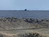
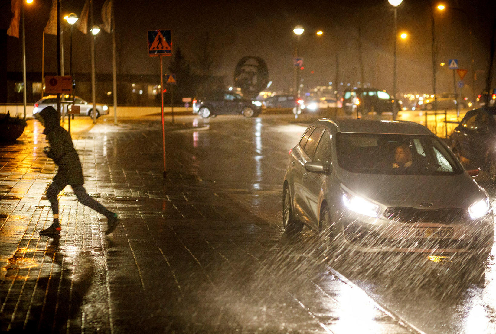
The Icelandic Met Office has issued a yellow alert for a large part of Iceland. A severe gale warning for Reykjavík and the capital region is in effect from 10 pm tonight till 7 am tomorrow morning. For South Iceland, a severe gale warning is in effect from 1 pm today till 5 am tomorrow. For Faxaflói bay, a severe gale warning is in effect from 3 pm today till 8 am tomorrow morning. Finally, for the Central Highlands, a severe gale or storm warning is in effect from 2 pm today till 10 am tomorrow.
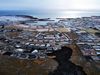
The capital region: Easterly gale or severe gale is expected, with wind speeds of 15-25 m/sec, the strongest wind on Kjalarnes point. Wind gusts of 25-30 m/sec are expected in Kjalarnes, near Esja mountain.
South Iceland: A southeasterly severe gale of 18-25 m/sec is expected, with the strongest wind near Eyjafjallajökull glacier and on the coast. Wind gusts near mountains could exceed 35 m/sec, especially near Eyjafjallajökull and Mýrdalsjökull glaciers. The conditions can be hazardous for vehicles sensitive to wind, and roads could be slippery.
The Faxaflói bay area: Southeasterly gale or severe gale is expected with wind speeds of up to 25 m/sec. Wind gusts near mountains could exceed 35 m/sec, especially on Kjalarnes point and by Hafnarfjall mountain (on the road between Reykjavík and Borgarnes).The conditions can be hazardous for vehicles sensitive to wind, and roads could be slippery.
The Central Highlands: A southeasterly gale or storm, with wind speeds of 18-28 m/sec. Strongest winds near mountains, especially the northwest and west side of mountains in the southeastern part of the highlands. Lighter wind in the north. Please show caution.
Check out road conditions on road.is, and follow the latest weather forecast on en.vedur.is.